Yosemite National Park California
Yosemite National Park Overview
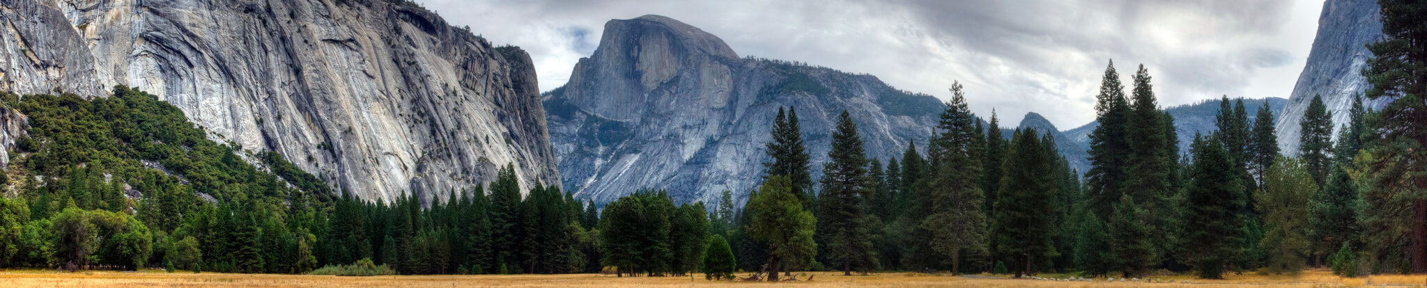
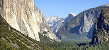
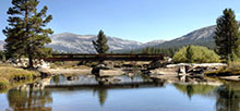
Established as a National Park in 1890, world famous Yosemite National Park offers spectacular scenery and amazing wonders that boggle the imagination. Yosemite Valley is the central tourist attraction of the park. The majesty of the granite cliffs rising above the forested floor, spectacular waterfalls, and tranquility of the Merced River have combined to mesmerize visitors since the Park first opened.
Yosemite National Park – Campgrounds & Lodging
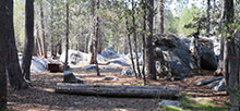
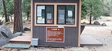
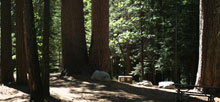
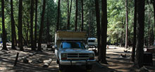
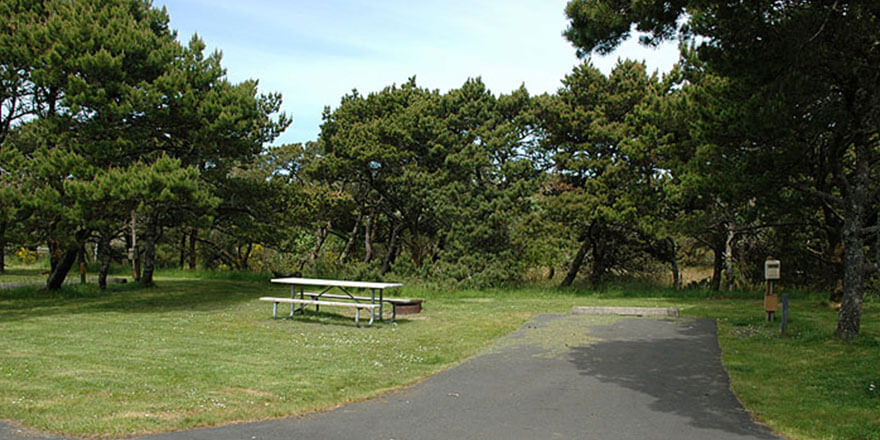
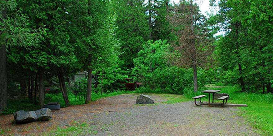
Yosemite has a number of developed campgrounds spread out throughout the park. Upper Pines, Lower Pines, North Pines and Camp 4 are located in Yosemite Valley. All require reservations and Upper Pines is open all year. Camp 4 is for tents only (walk to from parking lot). Additional overflow parking is available near each campground (including Lower Pines) for no additional charge; for some campgrounds additional parking is very limited. You may also try the lot over by the Campground Reservation Office near Curry Village.
Wawona and Bridalveil Creek are located south of Yosemite Valley. Wawona sites are also reservable. Bridalveil Creek are first-come, first-serve.
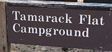
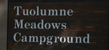
Campgrounds to the north of Yosemite Valley include Crane Flat, Tamarack Flat, White Wolf, Yosemite Creek, Porcupine Flat and Tuolumne Meadows. Hodgdon Meadow, Crane Flat and Tuolumne Meadows have reservable campsites.
In addition to the campgrounds, there are a number of in-door losing options. Curry Village offers cabins and canvas-sided tent cabins. Lodges and hotels include The Ahwahnee, Yosemite Valley Lodge, Wawona Hotel, White Wolf Lodge, Tuolumne Meadows Lodge (canvas-style tent cabins), High Sierra Camps (canvas-style tents), and the Glacier Point Ski Hut. Housekeeping Camp also offers “open-air’ shelters.
Yosemite National park Recreation
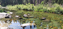
Within the 1,200 square miles of the park today, there is a great deal to see and do, both within the Valley and elsewhere. Glaciers, giant sequoias, spectacular waterfalls, granite monoliths, alpine meadows, 13,000-foot Sierra peaks, emerald lakes, rivers and sparkling streams are scattered throughout the vast domain.
Outdoor recreation includes hiking, backpacking, biking, kayaking, photography, climbing, rock climbing, fishing, nature exhibits, museums, camping and wildlife viewing. Horse stables are also located near Upper Pines campground with trail rides available to the public. You can also rent a raft and float the Merced River through the Valley. In the winter, visitors can enjoy cross-county skiing and snowshoeing in the Valley. Also, the Badger Pass Ski Area has downhill boarding/skiing and other winter sports activities.
Amenities
- Amphitheater
- Bathhouse
- BBQ Grills
- Cafe
- Camp Store
- Campfire Center
- Campground Host
- Campsite Tables
- Comfort Station
- Concession Stand
- Concessionaire
- Corrals
- Deli
- Dining Hall
- Drinking Water
- Dump Station
- Equestrian trail
- Equipment Rentals
- Fire Pit
- Fire Rings
- Firewood Available
- Food Storage Locker
- Gift Shop
- Golden Age & Access Passports accepted
- Grills
- Grocery Store
- Group Camping
- Group Pavilion
- Hike/Bike Campsites
- Ice
- Laundromat
- Laundry
- Nature Center
- Nature Store
- Park Interpreter
- Pay Phone
- Pets OK
- Picnic Tables
- Ranger Station
- Recycling Center
- Rentals
- Restaurant
- Restrooms (Flush Toilets, Vault Toilets)
- Shade Structure
- Showers
- Snack Bar
- Stables
- Stalls
- Vending Machines
- Visitor Center
- WiFi
Activities
- Archeological Sites
- Backpacking
- Biking
- Bird Watching
- Boating (non motorized)
- Canoeing
- Canyoneering
- Climbing
- Creek
- Cross Country Skiing
- Cultural Sites
- Downhill Skiing
- Fishing
- Fly Fishing
- Hiking
- Horseback riding
- Ice Skating
- Kayaking
- Lake
- Mountain Biking
- Museum
- Nature Programs
- Nature Trails
- Photography
- Picnicking
- Rafting
- River
- Rock Climbing
- Snowshoeing
- Stargazing
- Swimming
- Visitor Center
- Walking Trails
- Wilderness Area
- Wildlife Viewing
- Winter/Snow Sports
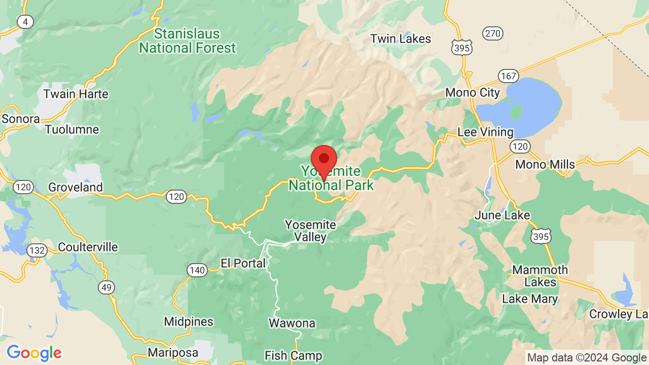
Yosemite National Park, California 95389
(209) 372-0200
Lat / Long:
Upgrade to Campsite PRO Membership
Get 20% off availability alerts, entry to prize drawings, and enjoy an ad free experience!
Yosemite National Park Campground Availability Alerts
Yosemite National Park sold out? Get an alert when a campsite becomes available at Yosemite National Park!
Create Campsite Availability AlertRegions
Campsite Types
- ADA
- Cabin
- Glamping
- Group
- Hike/Bike
- Motel
- Primitive
- RV
- Tent
- Trailer
- Walk-To
- Yurt
Season:
Year Round
Yosemite National Park Campgrounds


Yosemite National Park Comments & Reviews
Visited Yosemite National Park Campground lately? We'd love to hear about your adventure. Did you find us useful? Did we forget something? Anything our community should know before heading out to Yosemite National Park?


Your Comment / Rating / Review: